The thought has been in my mind so often, I saw the term on a post by my daughter on Instagram, and it came alive again.
The last few years my travels have been bringing forth this very thought. That most places seem to end up being similiar in many ways. Either I am travelled out, or mountains, rivers, deserts and forests are actually much the same around the world.
In October 2023, I visited Brazil. An Outward Bound Conference was the reason, but it allowed me to visit a part of the world I had been imagining since I was a girl and learnt about this fascinating river and the forests and people around it. I discovered a book called ‘Journey to the River Sea’ by Eva Ibbotson a few years ago, and it brought to life an era and time when this river and the community that grew around the rubber trade from the Amazon flourished. Since I was already in this huge country – it only seemed right to get to the city of Manaus and try and get up the river. So I did
The Amazon – and my thoughts that day.
What an unbelievable day I have had.
Yesterday I found myself in a town I had imagined since I first read about it.
All I wanted to see was the Opera House and the river.
The Opera House was fortunately just outside the little hotel I stayed at, so I got my fill of it. Even a discounted ticket for senior citizens! It is a marvel and I could absolutely imagine the pomp and splendour of the shows it hosted and the crowds that adorned it’s halls and boxes. It carried me back to the world it was built for and the story that I read about it.
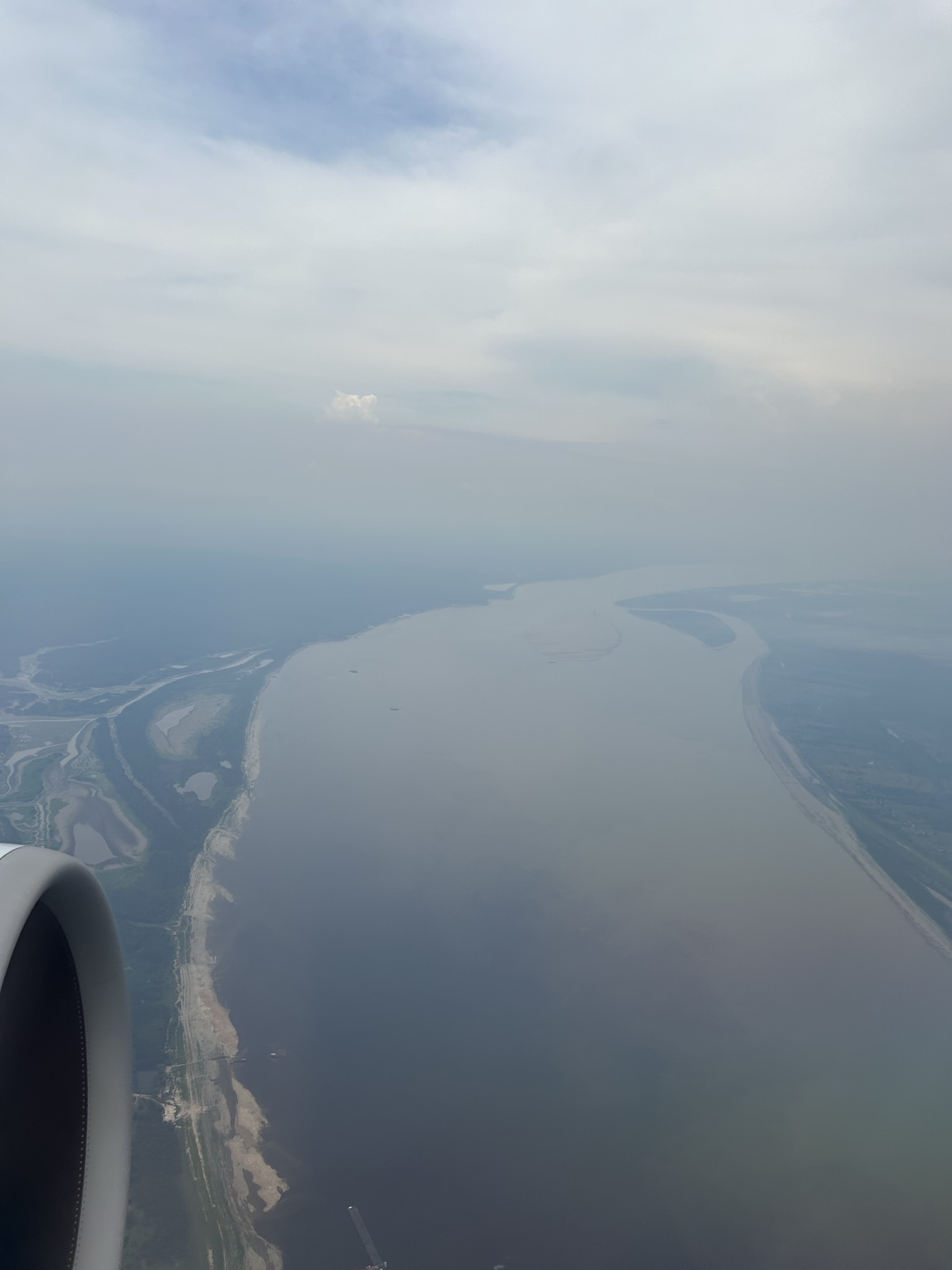
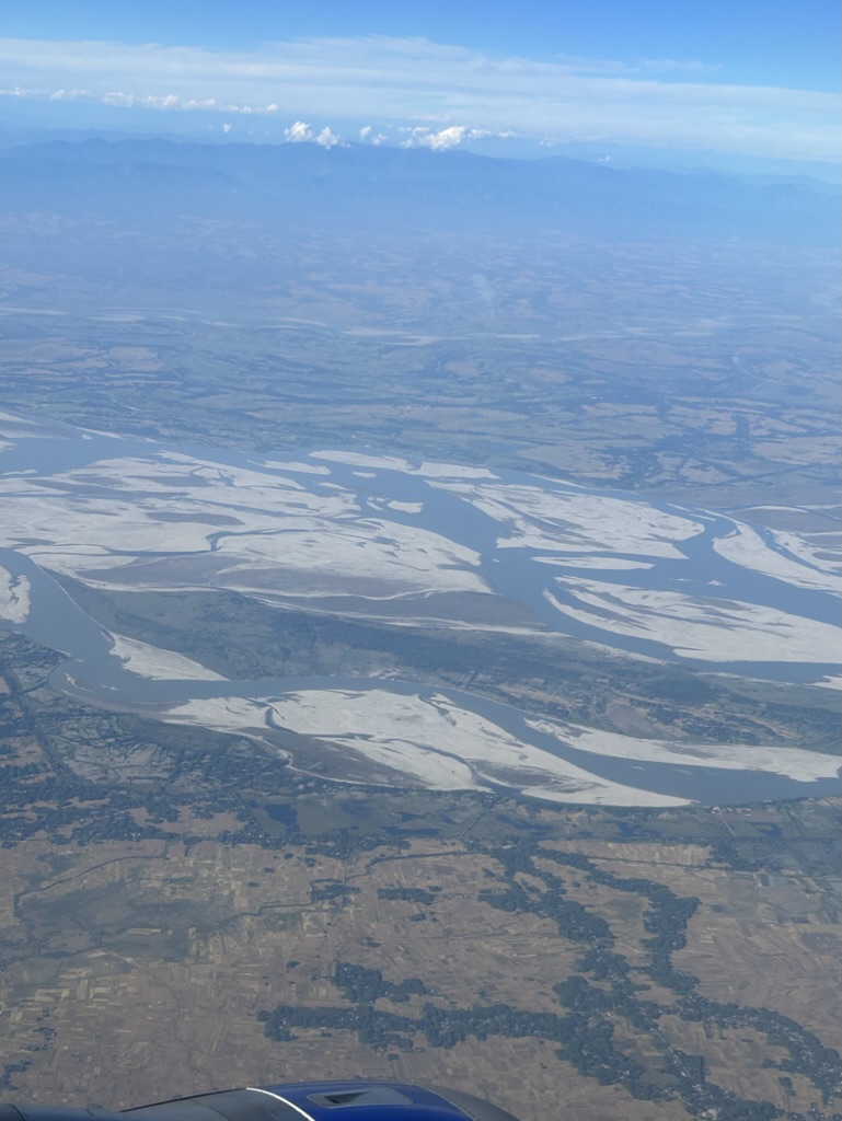
This afternoon, I was driven through the now industrial town of Manaus down to a wharf or jetty on the Rio Negro, which lives up to its name. The water levels across the whole basin are at an unprecedented low; however, this is still a vast river.
A ferry full of supplies and I went motoring down the river – stopping to watch the merging of the waters where the Rio Solimos and the Negro meet and frolicking pink dolphins. We got off at a tiny river terminal town called Carero, and my boat driver Lucio, became the driver for a rickety old VW van. Our boat was handed over to another old gentleman who lived right there in a floating house. I discovered that most houses along the river are built so, to manage the flood and ebb of this immense expanse of water. But we left that behind.
Now we drove on a dusty red road through jungles, some cleared cultivation and large haciendas with grazing cattle. It all looks a bit wild westy ( like the old movies), the houses are on stilts because the river apparently comes all the way up. The rains had failed this year, so it was brown and somewhat parched. I was gobsmacked and awed. I was actually driving through the Amazonas.
We finally came to another part of the river. I discovered that we were now on a tributary called the Parana de Mamori.
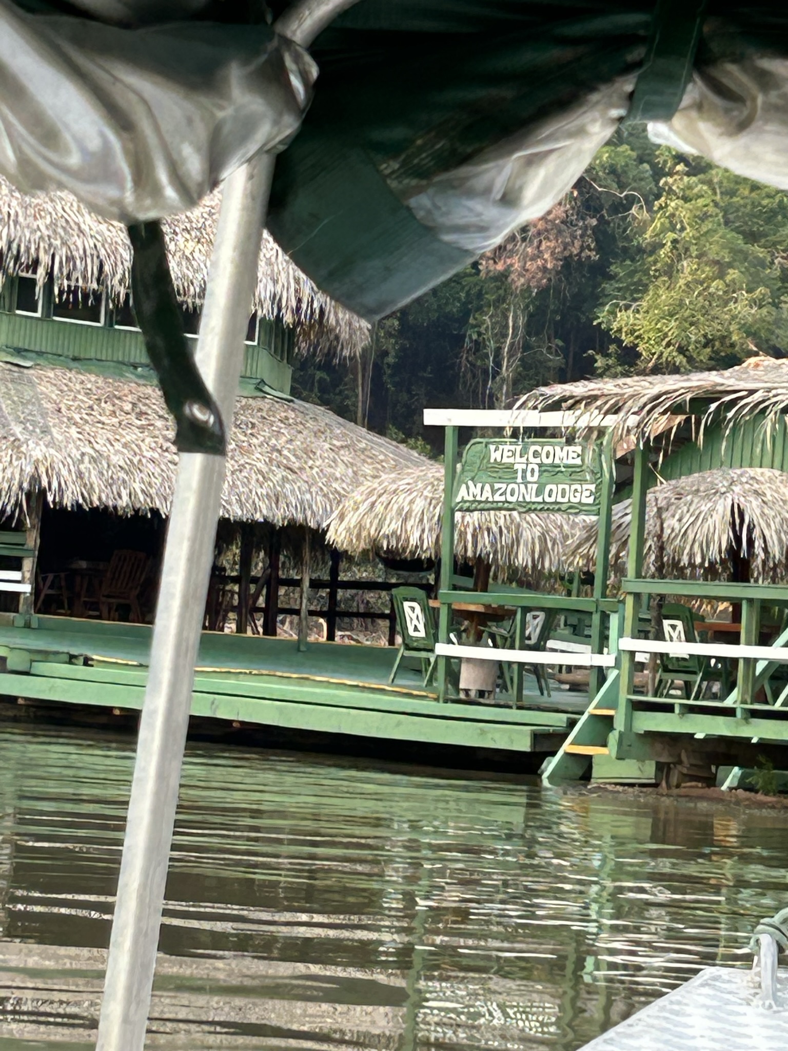
Here, there were just a few small boats, (I’m so glad I was wearing my sensible river sandals) I and the supplies were loaded into one such and off we went up and up and up the river. There was thick forest, one young driver and a spluttering boat. It was a marvellous journey – we passed islands and little tributaries until we turned into a vast, vast lake – it felt like we reached the sea except I could see the forest at the far edges. The sun was beginning to set, our boat ride through that golden evening seemed never-ending – way into the Juma lake, we finally turned a quiet corner into a bay and the floating houses of this little resort that I am staying at.
I’ve sat on the verandah, sweating a tub and totally enchanted by the silence – occasional growler monkeys, a dolphin splash and a golden moon rising over the forest. It’s a culminating reminder of every river trip I have taken and a full-time reminder of my camp. Like coming home, but different.
I spent a magical few days in the sweltering jungle, swimming gingerly off the floating deck – the river is full of Caimen ( Amazonian crocodiles). I finally visited the Amazon.
The Brahmaputra, home again.
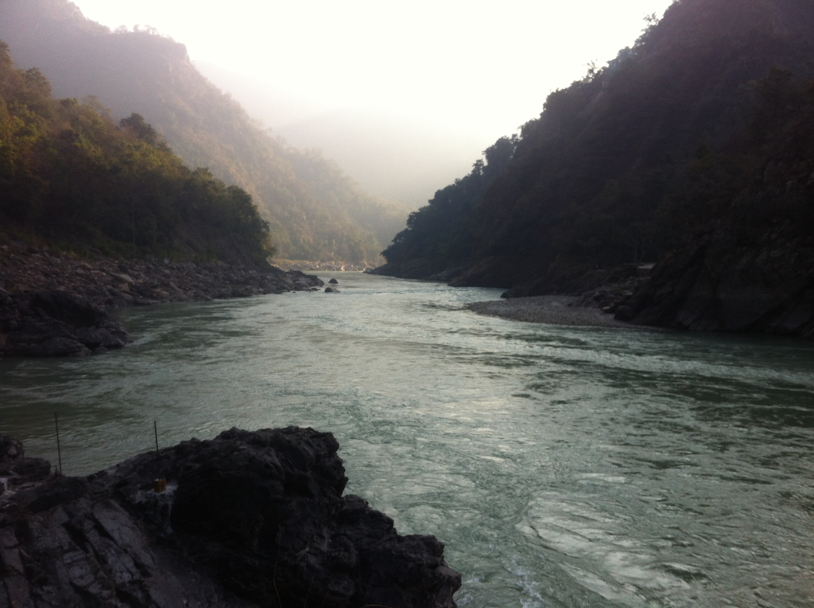
Back home, there was a post from my friend Vaibhav about the last descent of the Subhansari before it got dammed. So obviously tempting. Also, Solly was to join us; it would be a get-together of old friends doing what we do best – rafting down a beautiful river.
We flew to Bagdogra and then drove for 2 days through Assam and into Arunachal, across and along the huge Brahmaputra river, with its islands and ferry boats, mud flats and vast waters. Through wild forest, villages on stilts and tiny dust roads. Is it all sounding like what I have just said in the paragraphs above. It was.
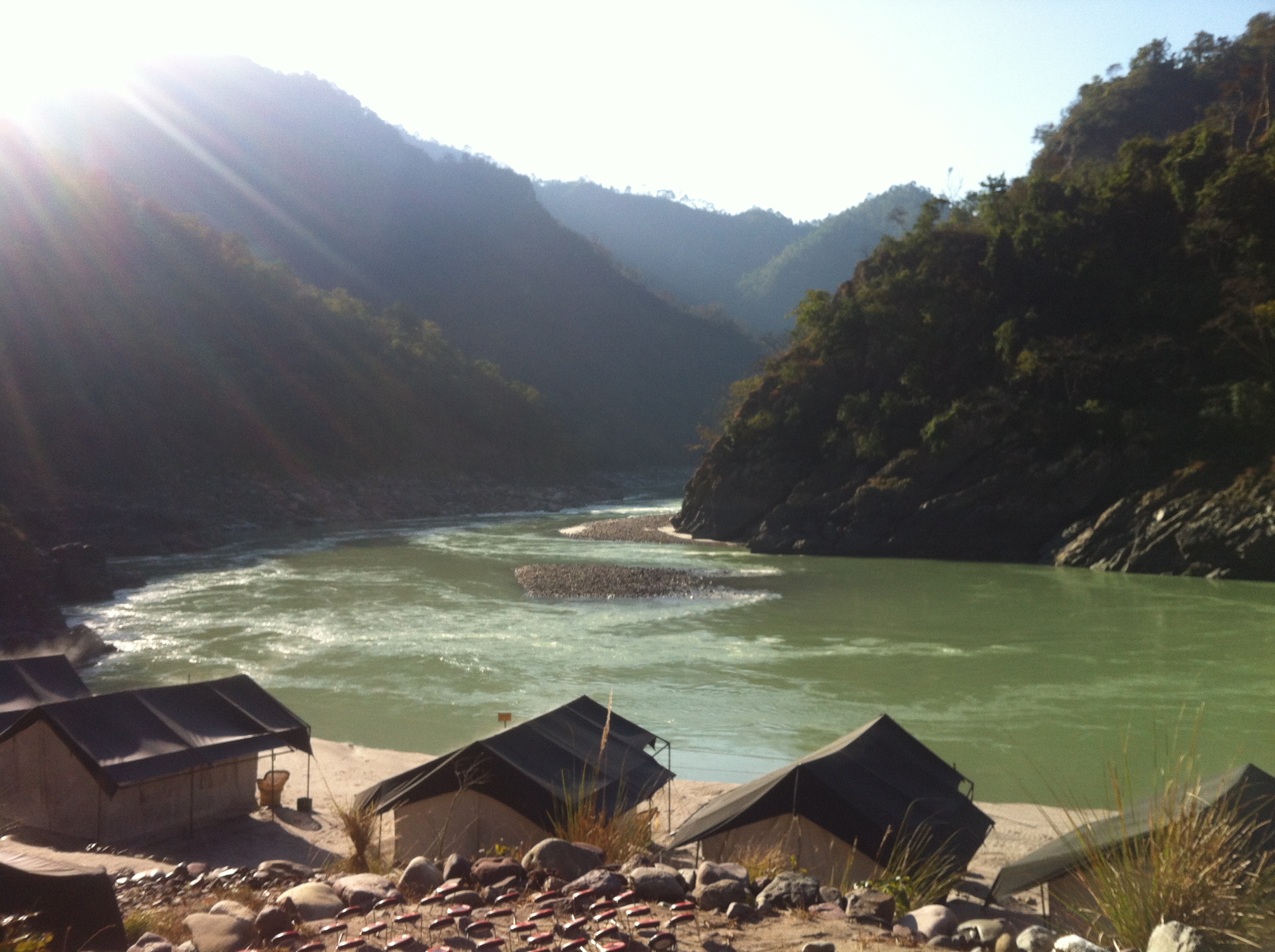
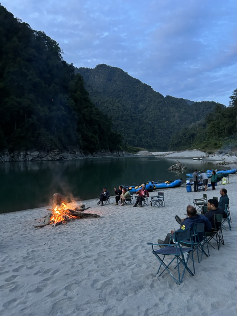
We finally got to a stop in the middle of nowhere, scrambled through the forest down a non-existent path to the waiting rafts with the smiling guides. Loaded bags, rowed across the river to a beautiful sand beach and a river camp that raised so much nostalgia. Here I was again on a magical river, a tributary of the Brahmaputra. Surrounded by forest – luckily this bit of the river didn’t have crocs, so a swim was easier. We had a lovely river trip for 5 days, through the pristine valley carved by the Subhansari through the thick forests of the area.
We had to pull out at the half constructed dam and got driven out through the tunnels the water will eventually be channelled through. A somewhat surreal experience.
The whole experience had me thinking, I went half way around the world to visit a big river and fabled forests, came back and did the same again in my backyard.


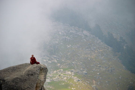
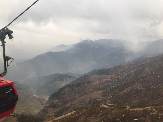 By the time we reached the top it was hailing and raining and an absolute white out. The frozen lake would have to wait for another time, when perhaps the meadows would be a burst of interesting wild flowers to make that trudge more palatable.